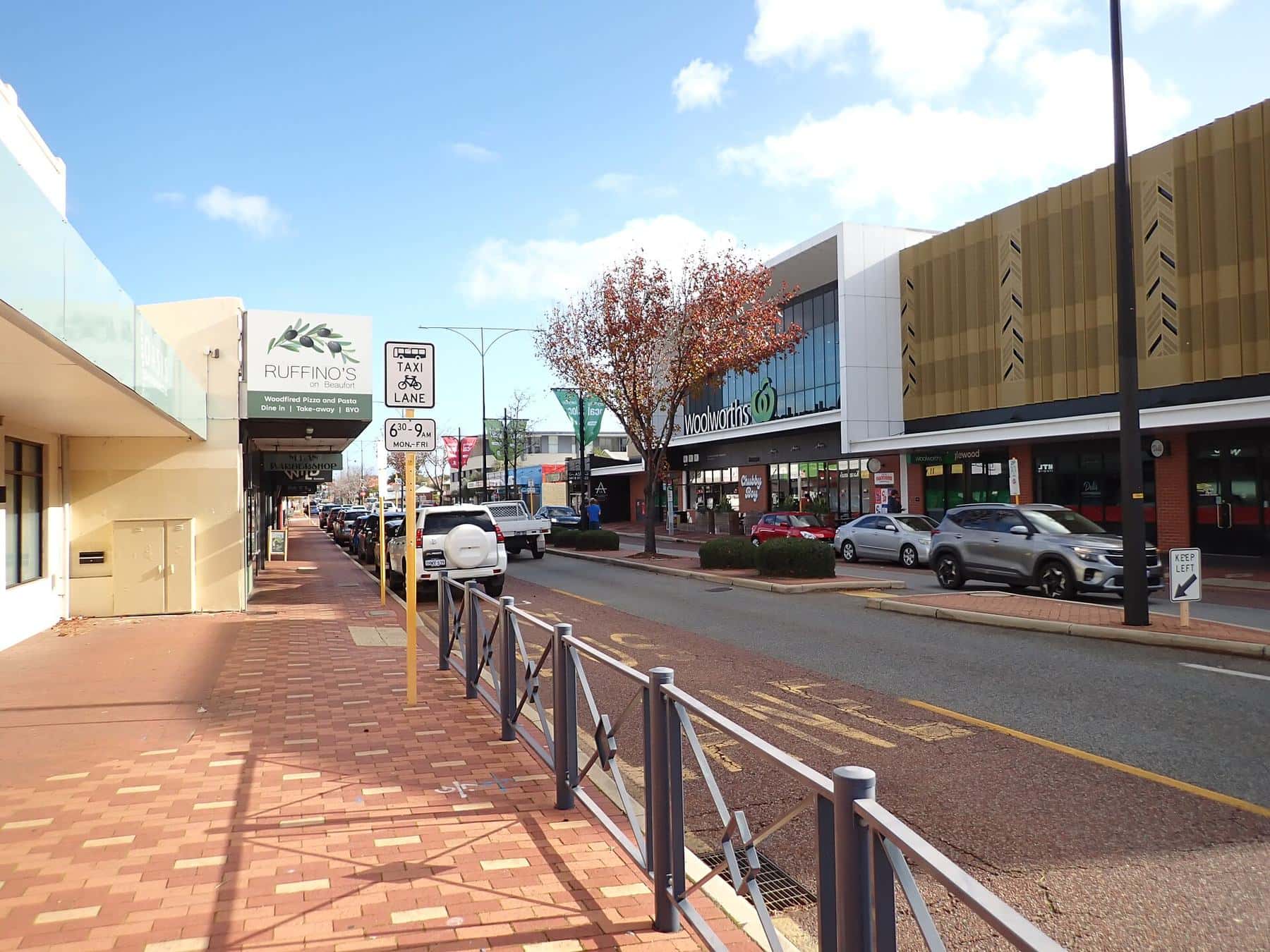
Beaufort Street is less a single destination than a sequence of them. Its character was shaped by the electric tram, which reached along Beaufort Street in 1900 according to the City of Vincent’s local history, and by the suburbs that grew up along the line. Each neighbourhood has its own history, architecture and personality.
Mount Lawley
The Astor Theatre
Built 1914–15, opened as the Lyceum, remodelled in Art Deco style in 1939 and renamed the Astor in 1941.
Read more →- Perth
- Highgate
- Mount Lawley
- Inglewood
North is at the top. The list runs from Inglewood (north) down to the city end (south).
The city end and Northbridge
Beaufort Street begins on the northern edge of the CBD, close to the Perth Cultural Centre, and runs past Northbridge. The first stretch has a mix of civic, commercial and residential buildings, including heritage-listed terrace houses from the late 1890s. It is busy with traffic and close to the museum, gallery and library. Read the city end.
Highgate
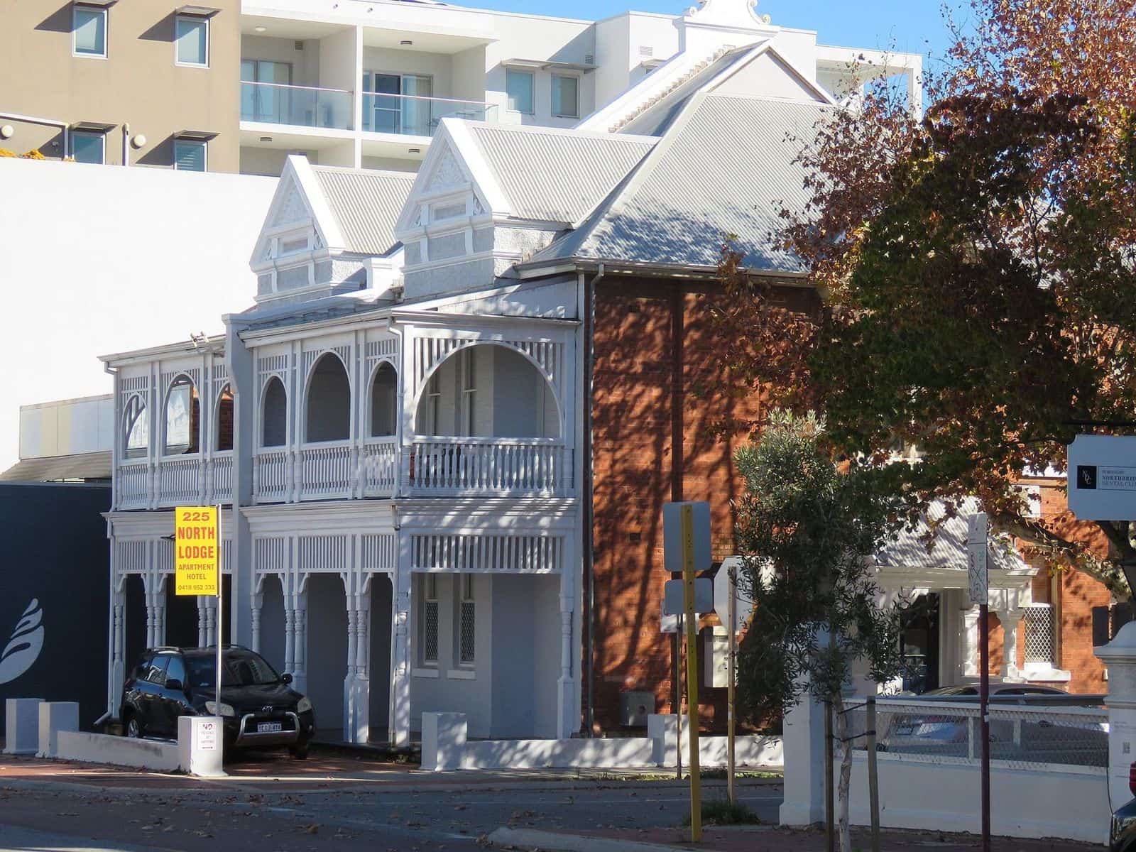
Highgate was named “Highgate Hill” by surveyor Charles Crossland in 1874, after his birthplace north of London. In the 1890s gold-rush boom, estates were subdivided here, and a Catholic precinct grew up around the Sacred Heart Church. Today the stretch around Mary Street is one of Perth’s best-known dining and bar strips. Read Highgate.
Mount Lawley
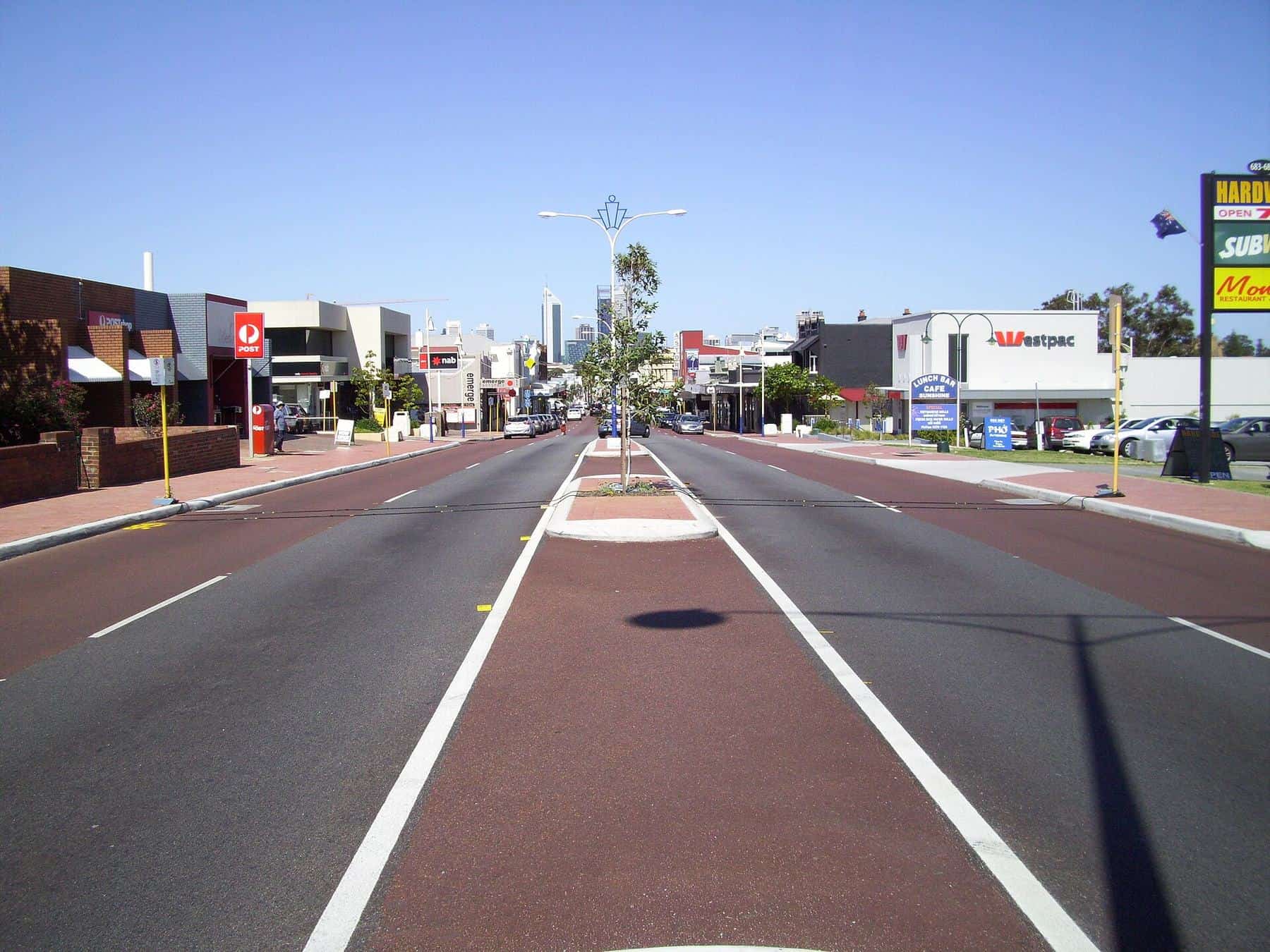
Mount Lawley was proclaimed in 1901 and named after Sir Arthur Lawley, Governor of Western Australia from 1901 to 1902. Its leafy residential streets are full of Federation and inter-war houses and 1930s Art Deco flats. The Astor Theatre anchors the corner of Beaufort and Walcott streets. Read Mount Lawley.
Inglewood
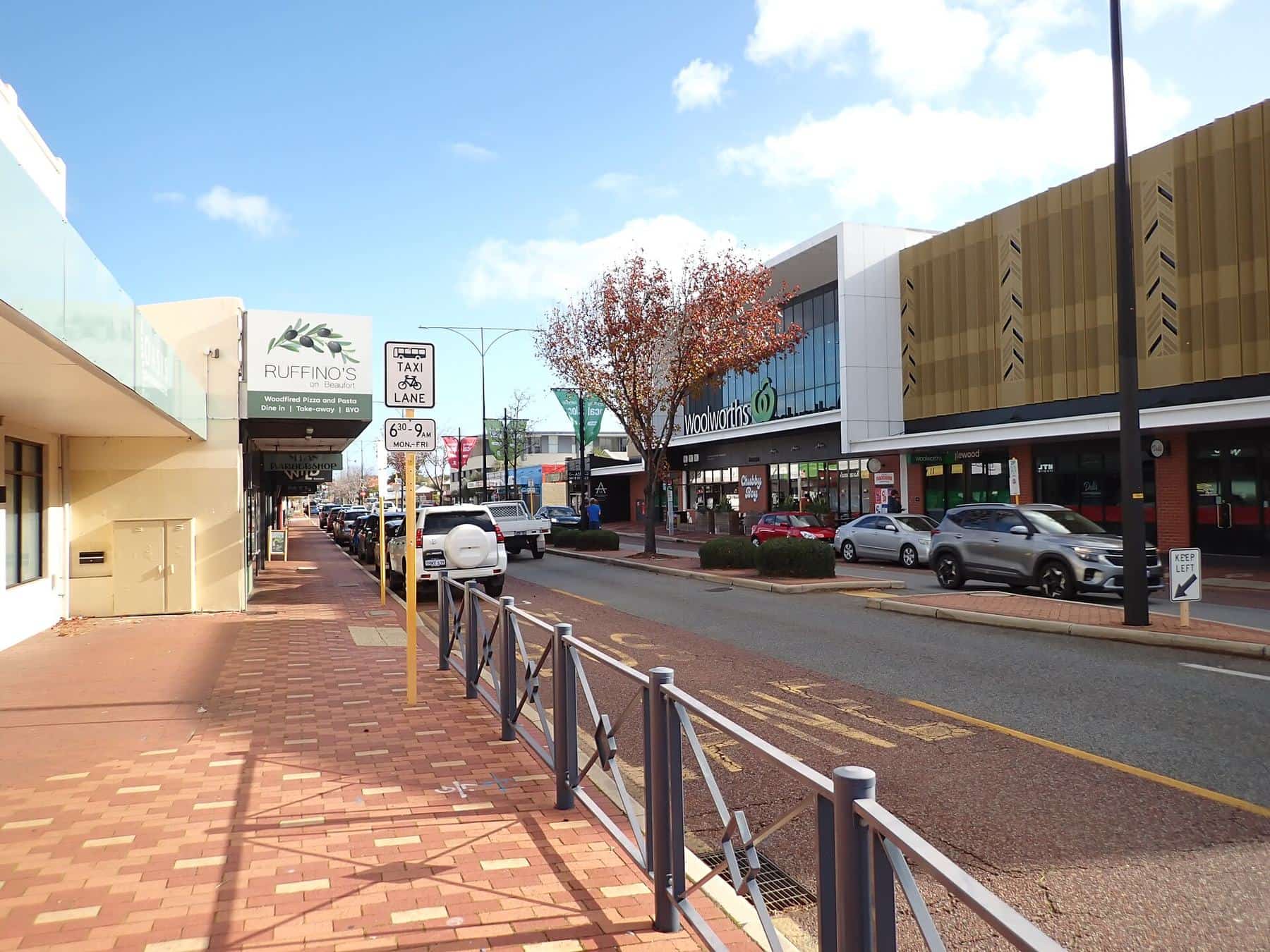
Inglewood’s name is thought to come from the Norwegian barque Inglewood, mentioned in The West Australian in 1904. It grew in two housing booms, 1904–1920 and 1935–1940, and has many Federation and Californian bungalow homes. Its Beaufort Street strip has a library, cafés, a clock tower on the corner of Dundas Road and a relaxed village feel. Read Inglewood.
Choosing where to go
- For dinner and drinks: Highgate and Mount Lawley.
- For a film, comedy or a gig: the Astor Theatre in Mount Lawley.
- For heritage architecture: the city end terraces, Highgate’s churches and Mount Lawley’s Art Deco.
- For a slower pace: Inglewood’s village strip and parks.
- For green space: detour to Hyde Park from Highgate.
Getting between neighbourhoods
Transperth buses run the length of Beaufort Street, so you can walk one section and ride to the next. See getting here and follow our walking tour.
Beaufort Street neighbourhood checklist
0 of 6 done
Ticks are saved in this browser only.
Local government
Beaufort Street crosses council boundaries. The City of Vincent covers Highgate and southern Mount Lawley, and the City of Stirling covers northern Mount Lawley and Inglewood. Both councils publish local history resources, which we draw on throughout this guide.
Guides in this section
Neighbourhood
Highgate, Beaufort Street’s first hill
Highgate on Beaufort Street: Noongar wetlands, the 1874 naming, the Queens Hotel, Sacred Heart, St Alban’s, Hyde Park and the Mary Street strip.
Read · 5 min
Neighbourhood
Mount Lawley, the heart of Beaufort Street
Mount Lawley’s Beaufort Street: the suburb named for Governor Lawley, the Astor, Art Deco buildings, Walcott Street and the dining strip.
Read · 4 min
Neighbourhood
Inglewood, the village end of Beaufort Street
Inglewood’s Beaufort Street strip: the barque behind the name, Federation streets, the clock tower, civic centre, markets and parks.
Read · 4 min
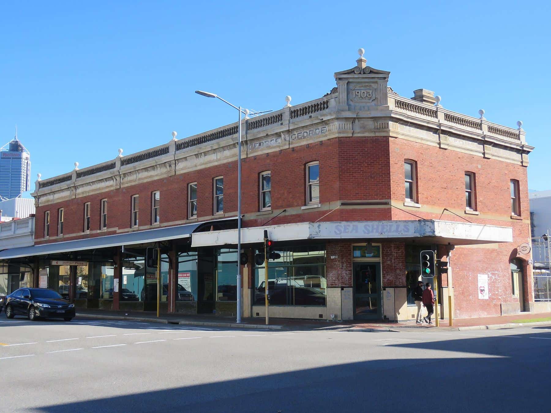
Neighbourhood
The city end of Beaufort Street
Where Beaufort Street begins: its name, the Perth Cultural Centre and WA Museum, Noongar wetlands, St Alban’s and the climb towards Highgate.
Read · 4 min
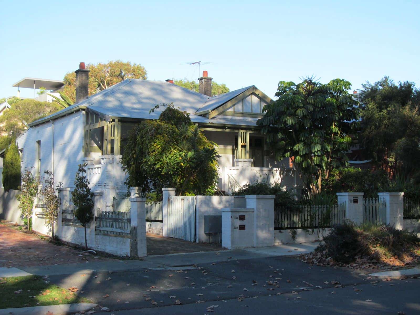
Self-guided walk
Beaufort Street walking tour
A self-guided Beaufort Street walking tour from the city end through Highgate and Mount Lawley to Inglewood: 10 stops, timing and tips.
Read · 3 min
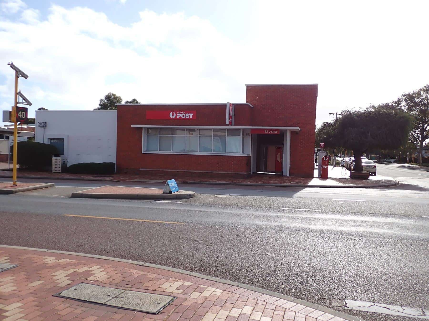
Transport
Getting to and around Beaufort Street
How to get to Beaufort Street: Transperth buses, nearest train stations, parking and clearways, cycling, taxis, accessibility and tram history.
Read · 4 min
Frequently asked questions
Which suburbs does Beaufort Street run through?
From the CBD it runs through Perth (beside Northbridge), Highgate, Mount Lawley and Inglewood, and continues north-east beyond Inglewood. The southern sections are in the City of Vincent and City of Perth, and Inglewood and northern Mount Lawley are in the City of Stirling.
Which part of Beaufort Street is best for restaurants?
The busiest dining and bar strips are in Highgate, around Mary Street, and in Mount Lawley, around Walcott Street and the Astor Theatre. Inglewood has a more relaxed, village-style strip.
Is Beaufort Street safe at night?
The main strips are busy in the evenings and generally feel lively. As in any inner-city area, take normal precautions, stay on well-lit streets and plan your trip home.
Which councils cover Beaufort Street?
The City of Perth covers the city end, the City of Vincent covers Highgate and southern Mount Lawley, and the City of Stirling covers northern Mount Lawley and Inglewood.
Sources and further reading
Facts on this page were checked against these primary and official sources. Conditions change — confirm before you travel or buy.
- Highgate history — City of Vincent Library & Local History Centre
- Mount Lawley history — City of Vincent Library & Local History Centre
- Inglewood suburb profile — City of Stirling